Jakob Roth · 2 September 2026
Volcanic ash path studies have advanced significantly with a recent project that charts erosion vulnerabilities across multiple regions. Researchers utilized a combination of remote sensing and field measurements to assess how ash deposits degrade over time.
Mapping Methodology and Data Collection
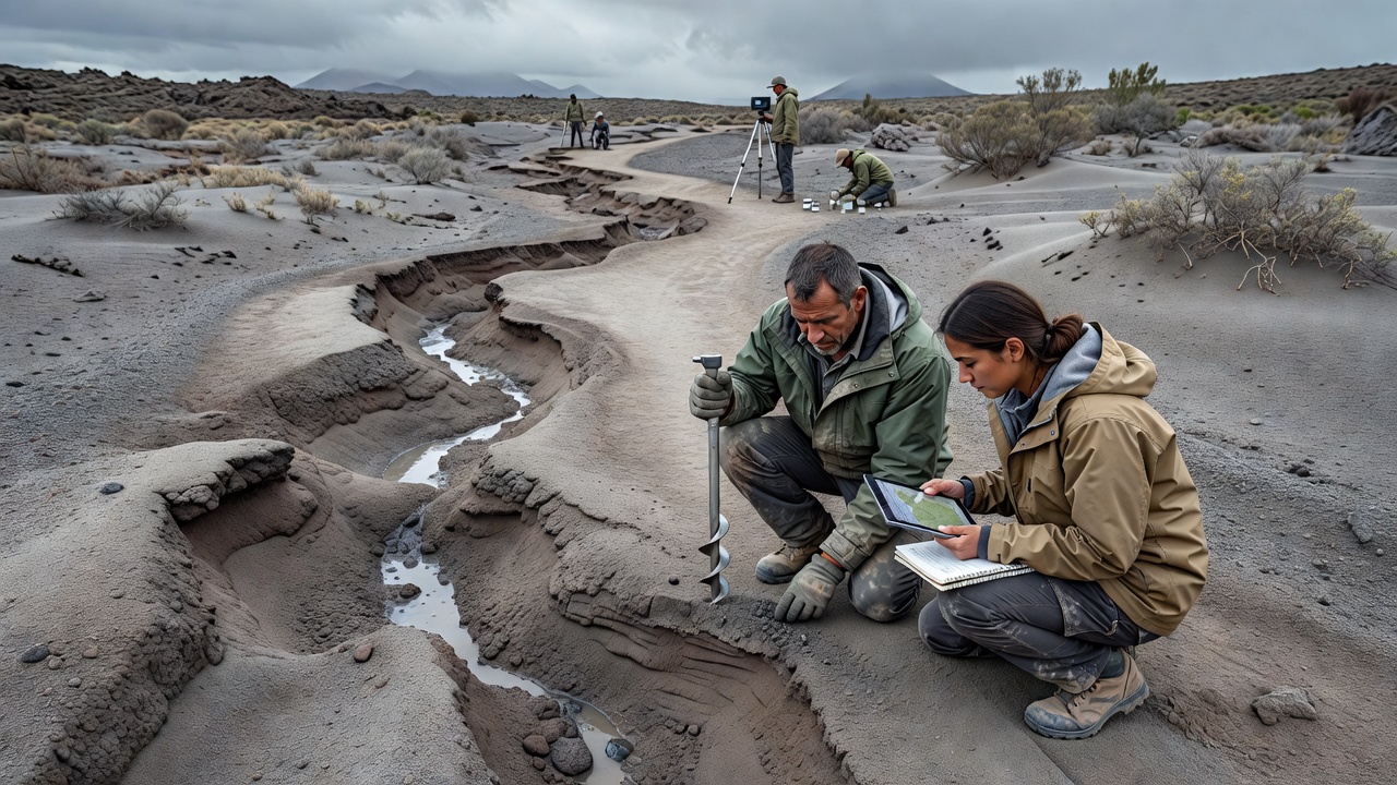
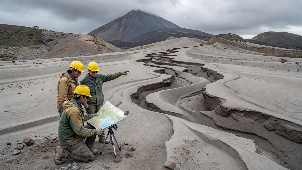
The project involved detailed surveys in active volcanic zones including Mount St. Helens and Mount Merapi. Teams deployed drones for aerial photography and collected soil samples to analyze ash composition and stability. Erosion rates were calculated using mathematical models that factor in rainfall intensity, wind speed, and vegetation cover. Results indicated that unprotected ash paths erode at rates up to five times higher than vegetated areas. This information is crucial for predicting landscape alterations following eruptions. The dataset encompasses measurements from over 150 locations, spanning diverse climatic conditions. Scientists noted that fine ash particles are particularly susceptible to wind erosion, contributing to air quality concerns in downwind communities. Integration of geographic information systems allowed for the creation of risk maps that highlight high-priority zones for intervention. The study also explored the role of climate change in exacerbating erosion processes, suggesting that increased precipitation in some areas could accelerate ash movement significantly.
Validation of the models was achieved through comparison with historical erosion events documented in geological records. Adjustments were made to account for variations in ash mineralogy from different volcano types. The comprehensive approach ensures that the maps are both accurate and applicable to a wide range of scenarios.
Broader Implications for Volcanic Regions
Understanding erosion risks enables better planning for agricultural lands and transportation networks affected by ash falls. Mitigation strategies such as immediate seeding of grasses can reduce erosion by stabilizing the surface. Policy makers are advised to incorporate these maps into emergency response protocols. International agencies have expressed interest in adopting similar techniques for their monitoring programs. Long-term studies are planned to track changes and refine predictive capabilities. This research contributes to the broader field of volcanic ash path studies by providing actionable insights into environmental management. Communities in proximity to volcanoes stand to benefit from reduced hazards associated with ash movement and deposition. Furthermore, educational programs are being developed to inform residents about the importance of preserving natural barriers against erosion. The maps are publicly available through the institute's database to promote widespread use and further research collaboration.