Jonas Hansen · 7 October 2026
Satellite Mapping Tracks Volcanic Sediments in Lesser Poland Water Networks
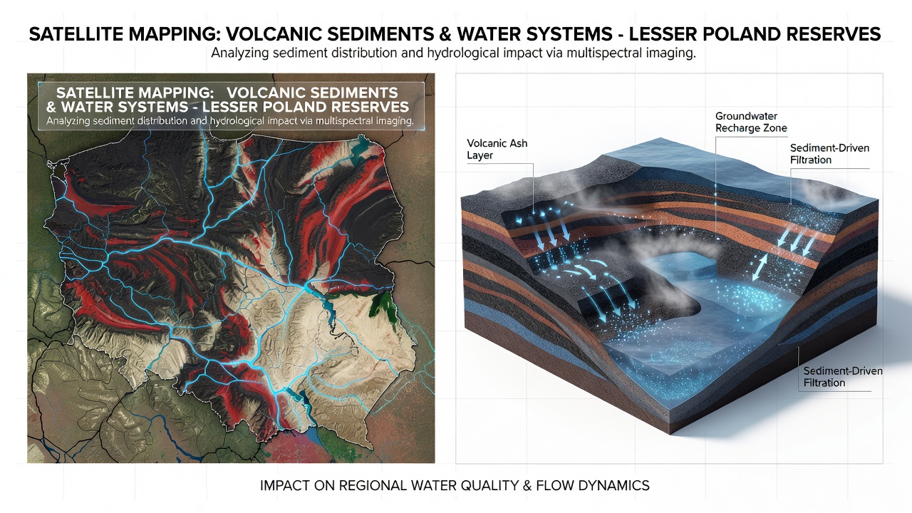
Researchers have applied multispectral satellite data to chart the distribution of volcanic sediments throughout protected zones in Lesser Poland, where these deposits interact with rivers, aquifers, and wetlands. The Carpathian foothills and surrounding reserves contain layers of ancient tephra and ash-derived soils that alter infiltration rates and sediment transport in local waterways. Landsat and Sentinel-2 platforms supply the primary datasets, allowing repeated observations of surface composition and moisture patterns without ground disturbance.Technological Methods Behind the Mapping
Analysts process reflectance values from visible, near-infrared, and shortwave infrared bands to distinguish volcanic material from surrounding limestone and sandstone substrates. Algorithms detect iron oxides and clay minerals typical of weathered tephra, then classify pixel clusters into sediment thickness categories. These classifications feed into hydrological models that simulate runoff and groundwater recharge across seasonal cycles. In October 2026, reprocessed archives from the Copernicus programme added finer temporal resolution, revealing how autumn precipitation events redistribute fine particles into stream channels.
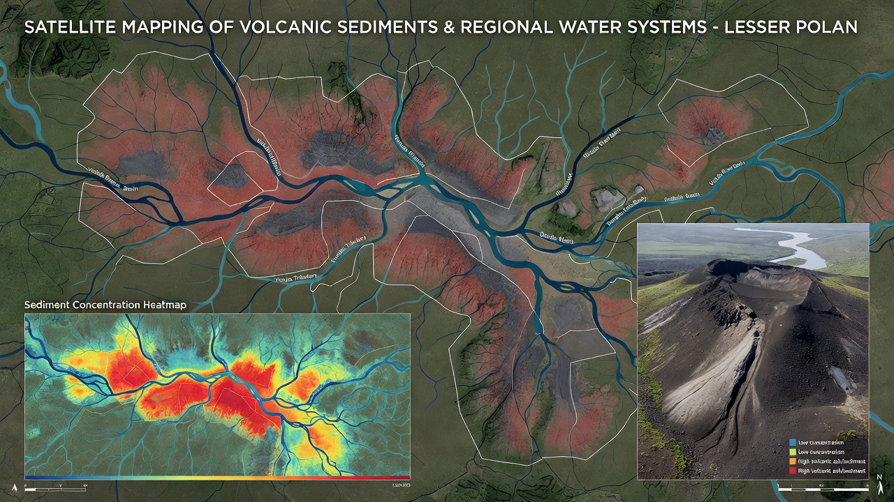
Ground validation teams collect soil cores and stream samples at selected sites to calibrate the satellite indices. The combined dataset produces maps at 10-meter resolution that show sediment plumes extending from upland source areas into valley reservoirs. Such maps highlight zones where volcanic layers create perched aquifers or reduce permeability in floodplains.
Sediment Effects on Regional Hydrology
Volcanic sediments in these reserves contain higher proportions of glass shards and porous pumice compared with local sedimentary rocks. This composition increases water retention in upper soil horizons yet can clog macropores when particles wash into deeper strata. Streamflow records indicate that catchments with thicker tephra mantles exhibit flashier hydrographs after heavy rain because surface sealing limits infiltration. Conversely, areas where sediments have mixed with organic soils maintain steadier baseflow contributions to downstream rivers.
Regional water managers incorporate these sediment maps into allocation plans for agricultural and municipal users. The data show that certain reserves function as natural filters, trapping volcanic fines before they reach major tributaries of the Vistula. Long-term monitoring reveals gradual shifts in sediment mineralogy as weathering releases nutrients that influence aquatic chemistry in protected lakes.
Integration with Field Observations
Teams from Polish geological institutes cross-reference satellite classifications with borehole logs and geophysical surveys. One study combined electromagnetic resistivity measurements with Sentinel-derived sediment indices to map buried tephra horizons that affect spring discharge points. These horizons often coincide with abrupt changes in electrical conductivity along valley floors, confirming the satellite interpretations at depth.
Additional work draws on historical eruption records from the Carpathian arc to estimate original deposit volumes. Researchers adjust modern thickness estimates for erosion and redeposition, producing refined budgets of material that still influences contemporary water movement. The resulting layers feed directly into distributed hydrological models used by environmental agencies.
Applications in Reserve Management
Protected area authorities use the sediment maps to prioritize restoration sites where volcanic deposits have altered wetland hydrology. Targeted removal of accumulated fines in selected channels has restored connectivity between surface water and underlying aquifers in pilot projects. Satellite time series also flag locations where recent landslides have exposed fresh tephra, increasing short-term sediment loads in adjacent streams.
International collaboration supplies complementary datasets from agencies such as NASA's Landsat program and the European Space Agency's Copernicus services. These sources extend the temporal baseline and allow cross-sensor validation of mineral mapping results across the reserves.
Conclusion
Continued satellite observations provide an expanding record of how volcanic sediments shape water movement through Lesser Poland reserves. Updated classifications support precise modeling of recharge zones and sediment routing pathways, while field measurements anchor the remote sensing outputs in measurable soil and water properties. The approach yields consistent spatial information that reserve managers apply to maintain hydrological function across varied terrain and seasonal conditions.